

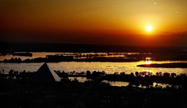
Looking west across Mud Island and I-40 toward Arkansas.

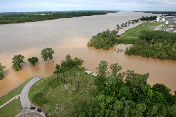
Blowing up the levee in Missouri

And the 200 sq. mile lake that was created. They blew another hole and all that water drained back into the Mississippi and is headed our way.

The statue of Tom Lee in Tom Lee park.

South end of Mud Island.

And here is the end of Mud Island when it's not flooded... only the flagpoles are above water now.


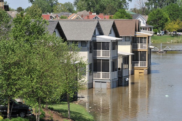
Houses on Harbor Town
Park at Harbor Town

Harrah's casino in Tunica


Mud Island at Harbor Town

Harbor Town homes

Another view of Christian Brothers H.S. athletic field from last weekend.

From several days ago. The south end of Mud Island is now almost under water

Looking west on I-40 toward Arkansas

Harbor Town - see all the trees under water on the Mississippi side.

Wolf River emptying into the Mississippi, except it is not emptying because the Mississippi is too full so the Wolf is running backwards.
Tom Lee Park last weekend during the music festival. It's mostly under water now

Harbor Town

Christian Brothers H.S.


Spain DeWitt Airfield......

..... now under water


The levee that broke and flooded the airfield


From Arkansas looking toward Memphis on I-40

Tunica

Tunica

I-40 near Brinkley Arkansas, the White River out of it's banks

2 comments:
Very informative posts and photos! related tothe 2011 flood. Thank you. John in MEM
Thanks for sending these! MML
Post a Comment