The river crested at 47.8 feet on Tuesday morning. The normal level for the river here for May is 19.5 feet. So we are nearly 30' over normal. I think about 34' is flood stage here. So far the levees are holding, most of the damaging flooding is on the tributaries - the Wolf River, the Loosahatchie River, and Nonconnah that are backing up because they can't drain into the Mississippi.
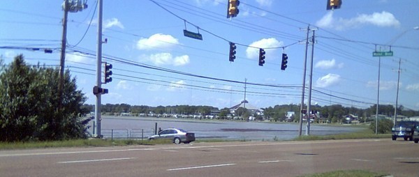
Shelby Farms 4/28 near my house
I40 Bridge looking toward Arkansas
I55 north toward Missouri
Mud Island Amphitheater
Beale and Riverside Drive
Tom Lee Park where the BBQ contest was supposed to be this weekend
The structure on the left is where the Memphis Belle used to be. Mud Island is now 3 islands.
Jefferson Davis Park next to the Welcome center looking toward the end of Mud Island
One of the casinos
Deer stranded on an island
A deer who found refuge on a roof of a house. Hopefully he got out safely, though they are estimating that 60% of the deer are drowned. Another danger - spiders and snakes are coming to dry land and getting to places where they usually are not so that becomes another danger.
Tom Lee statue, before and after. There was a riverboat that capsized way back when and Tom Lee was a black man who took his little row boat and rescued a whole bunch of people who would otherwise have drowned.
The south end of Mud Island
Harbor town
Tom Lee Park
Mud Island - that is where the "gulf of Mexico" is on the scale model of the river
Mud Island
Mud Island before and after
Beale and Riverside (or Riverunder) drive
Harbor Town park
Beale & Riverside Drive
Dewitt Spain airport hangers
Satellite after the flood
Satellite before the flood
Tom Lee Park taken by me sort of in front of Cybil Sheppards house